
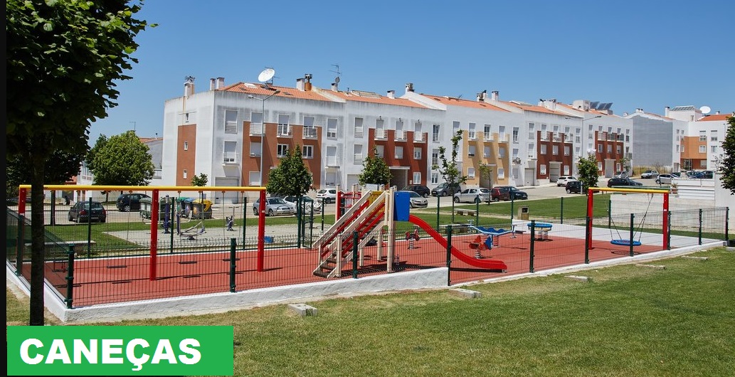
CANEÇAS
N 38º 49' 12''; W 9º 13' 48''
Caneças is an old Portuguese parish in the municipality of Odivelas, with an area of 5.85 km² and 12 324 inhabitants (2011). Its demographic density was 2 106.7 h / km².
It was extinguished (aggregated) by the administrative reorganization of 2012/2013, its territory being integrated into the parish of Ramada and Caneças.
Caneças includes the sites of Caneças, Lugar d'Além, Casal Novo, Piçarras and Vale Nogueira. It borders the parish of Famões and the old parish of Ramada (in the municipality of Odivelas), Loures (in the municipality of Loures), Almargem do Bispo and Casal de Cambra (in the municipality of Sintra).
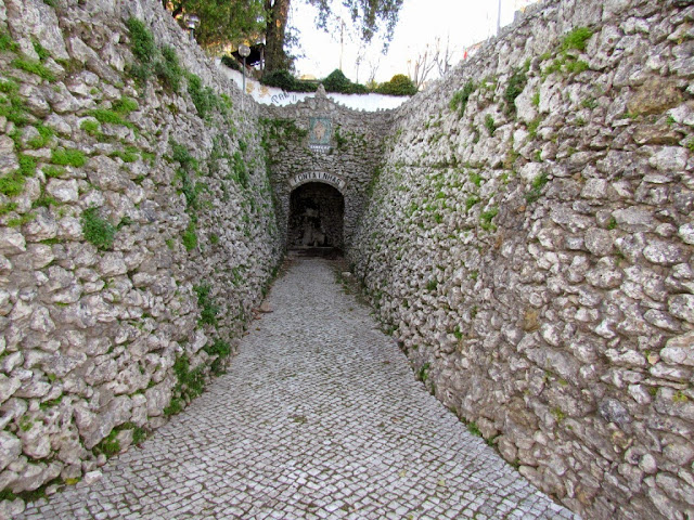
Lisbon has always had problems with the water supply. In the Carenque area, between Belas and Caneças, you can find the remains of a Roman dike. Roman plumbing must have been destroyed, in part, by earthquakes. The same must have happened with the Arab systems.
In the Middle Ages, water supply shortages are very serious. In the 15th century, the ships that arrived in Lisbon, from Lisbon left without the water for the trip. It is D. João V that, through the collection of taxes on the products that entered the city, in 1731, the construction of the Águas Livres Aqueduct started, originating from the Fonte das Águas Livres, near Carenque, going to flow into the Amoreiras deposit, whose Mãe d'Água was finished in 1834.
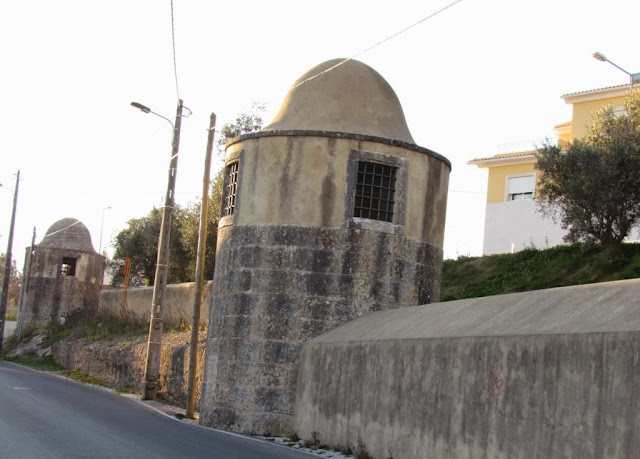
As for the aqueducts, the exact date of its construction is not known, but it is around the second half of the 18th century. These are four, all subsidiaries of the Águas Livres Aqueduct: Olival do Santíssimo, Poço da Bomba, Vale da Moura and Carvalheiro. The secondary aqueduct, the largest of the four, is that of Olival do Santíssimo, starting from Quinta do Macário, near Quinta de Castelo de Vide, ending in Belas / Sintra. The other three start in Caneças, connecting with the first. Only the Carvalheiro Aqueduct ends at Olival do Santíssimo, already in the Municipality of Sintra.
Around 1910, before the First War, Caneças had no roads, but the water was already being sold there. The water went to Lisbon on donkeys along uneven paths. The peak of water sales reached Caneças around 1928-1930.


CANEÇAS
GPS N38.81276; W9.22703

CANEÇAS - FONTE
DAS FONTAINHAS
GPS N38.81594; W9.22947


"ÁGUAS LIVRES" AQUEDUCT
GPS N 38.81604; W9.23015


💓💓💓💓💓
SEARCH IN ALPHABETICAL ORDER IN
THE DISTRICT OF LISBOA

Runa;
- 💓💓💓💓💓Return to mainland Portugal &the Azores and Madeira islands

