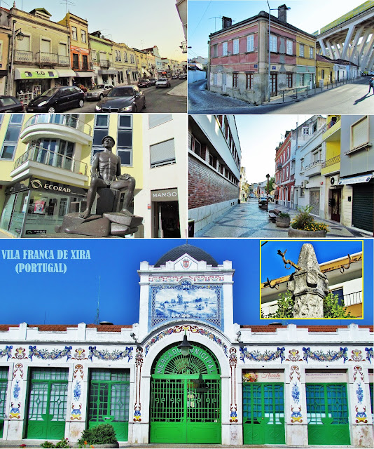
VILA FRANCA DE XIRA
GPS: N 38.955846; W 8.985793
Vila Franca de Xira is a host city of a Portuguese municipality with the same name, located in the district of Lisbon, belonging to the Lisbon Metropolitan Area. It is located in the traditional province of Ribatejo.
The municipality has an area of 318.19 km² and 136 886 inhabitants (2011), is subdivided into 6 parishes. The municipality is limited to the north by the municipalities of Alenquer and Azambuja, to the east by Benavente, to the south by the Tagus estuary, southwest by Loures, and northwest by Arruda dos Vinhos.
💓💓💓💓💓
SEARCH IN ALPHABETICAL ORDER IN
THE DISTRICT OF LISBOA

Runa;
- 💓💓💓💓💓Return to mainland Portugal &the Azores and Madeira islands


